The Grand Canal of China: History, Purpose & Engineering
The Grand Canal of China is the oldest and longest artificial waterway in the world, a monumental feat of engineering that connected northern and southern China for centuries. Stretching over 1,100 miles, it was a vital artery for trade, grain transport, and imperial control, fundamentally shaping the country’s economy and culture. Understanding its history and purpose reveals how infrastructure can unify a vast nation and leave a lasting legacy.
Simply put, the Grand Canal of China is a massive, man-made river system built primarily to transport grain and goods from the fertile south to the political and military centers in the north. Its construction unified the empire, bolstered the economy, and remains a testament to ancient Chinese ambition and technical skill.
Key Takeaways
- The Grand Canal of China is the world’s longest ancient artificial canal, stretching approximately 1,100 miles.
- Its primary purpose was to transport grain (tribute rice) from the rich Yangtze Delta region to the northern capitals.
- The canal was a critical tool for political unity, enabling the imperial government to supply armies and administer distant provinces.
- Constructed in stages beginning in the 5th century BCE, its most famous unification was completed under the Sui Dynasty.
- Today, a significant portion of the canal remains in use for modern shipping and is a UNESCO World Heritage site.
What is the Grand Canal of China and Why Was It Built?
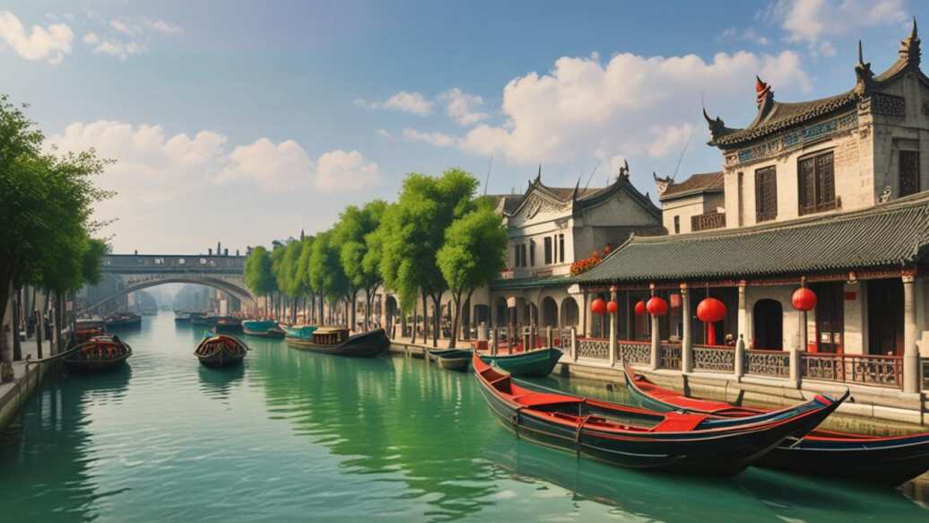
The Grand Canal of China, known in Mandarin as the Jing-Hang Grand Canal (Beijing-Hangzhou), is a network of interconnected canals and rivers. It forms a continuous waterway running north-south through the eastern plains of China. Think of it not as a single ditch, but as a managed system of natural rivers and engineered channels.
The fundamental reason for its construction was geography and politics. China’s major rivers, like the Yellow River and the Yangtze, flow west to east. This created a natural barrier between the north, where political power was often centered (near modern Beijing), and the south, the nation’s agricultural and economic heartland.
Transporting bulk goods like grain overland by cart was slow, expensive, and inefficient.
The imperial solution was to create an artificial north-south water highway. This served several critical purposes:
- Grain Transport (Cao Yun): The most vital function was moving “tribute grain” from the fertile Yangtze Delta to feed the capital’s population and its armies.
- Military Logistics: A connected waterway allowed for the rapid deployment of troops and supplies to guard frontiers or suppress rebellions.
- Economic Integration: The canal facilitated trade in silk, porcelain, salt, and other goods, boosting the national economy.
- Political Control: By physically linking the regions, the canal reinforced the authority of the central government over its vast territory.
Important: The canal was not built in one go. It was a series of projects spanning over 2,000 years, with the most transformative work done under Emperor Yang of the Sui Dynasty in the early 7th century.
How Was the Grand Canal of China Constructed?
Building such an immense waterway was a colossal undertaking that relied on human labor, ingenuity, and the strategic use of existing geography. Engineers did not dig a straight line from Beijing to Hangzhou. Instead, they masterfully linked existing natural rivers and lakes, creating a continuous path.
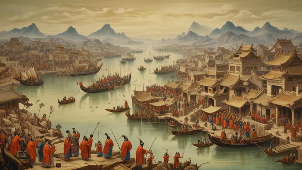
The construction process involved massive corvée labor forces—millions of conscripted peasants, soldiers, and prisoners. It was a brutal and deadly project, with countless lives lost. The methods used were surprisingly sophisticated for their time:
| Engineering Technique | Purpose & Implementation |
|---|---|
| Linking Waterways | Connecting natural rivers like the Yellow River, Huai River, and Qiantang River with new dug channels. |
| Sluice Gates & Locks | Regulating water flow and managing elevation changes, especially where the canal crossed other rivers or hilly terrain. |
| Embankments & Aqueducts | Raising the canal bed above ground level in flood-prone areas or carrying it over other waterways. |
| Dredging & Maintenance | Constant work to remove silt, keep the channel deep enough for barges, and repair locks and banks. |
The most famous segment, the Sui Grand Canal, took a northeast-southwest route. Later, during the Yuan and Ming dynasties, it was straightened into a more direct north-south alignment, the route largely recognized today. This involved digging new sections to bypass the old Sui path, significantly shortening the journey.
What Were the Key Historical Phases of the Canal’s Development?
The story of the Grand Canal is the story of China’s dynasties. Each major era contributed to its expansion, modification, or decline. Its history can be broadly divided into four critical phases.
- Early Foundations (5th Century BCE – 3rd Century CE): Before a unified canal, various states built short channels for irrigation and local transport. The most notable was the Han Gou canal, connecting the Yellow and Yangtze rivers, which provided the first link between China’s two great river systems.
- The Sui Dynasty Unification (605-611 CE): Emperor Yang of Sui launched a massive, state-directed project to link these early canals into one system. He built the Yongji Canal, Tongji Canal, and Jiangnan Canal, creating the first true Grand Canal. This project is infamous for its human cost but is the canal’s true origin point.
- Yuan & Ming Dynasty Realignment (13th-15th Century): When the Yuan Dynasty moved the capital to Beijing, the old Sui route became inefficient. They dug new, straighter sections (like the Huitong River) to create a direct north-south waterway. The Ming Dynasty further refined and maintained this route, cementing the modern layout.
- Decline and Modern Revival (19th Century – Present): With the rise of railways and coastal shipping, the canal’s importance waned. Major sections silted up. However, the late 20th century saw major restoration efforts. Today, the southern section is a busy commercial artery, while the Beijing-Tianjin segment is dry but preserved as a cultural relic.
Warning: The human cost of the Sui Dynasty construction was staggering. Historical records suggest hundreds of thousands, possibly over a million, workers died from exhaustion, disease, and accidents. This brutal labor exploitation was a key factor in the rapid fall of the Sui Dynasty.
How Did the Grand Canal Impact China’s Economy and Society?
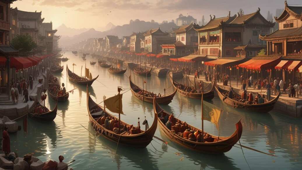
The impact of the Grand Canal extended far beyond simple transportation. It acted as a catalyst for profound economic and social change, weaving the disparate regions of China into a more cohesive whole. The flow of grain and goods it enabled created new patterns of wealth and settlement.
Economically, the canal created a continuous north-south trade corridor. It allowed southern agricultural products, handicrafts, and raw materials to reach northern markets in unprecedented volumes. This stimulated the development of market towns and cities along its banks.
Places like Suzhou, Yangzhou, and Jining boomed as transshipment hubs.
Socially and culturally, the canal was a channel for more than just water. It facilitated the movement of people, ideas, and cultural practices. Officials, scholars, merchants, and artists traveled its length, spreading dialects, customs, and artistic styles.
The distinctive canal culture, with its unique architecture, opera, and cuisine, developed in the communities along its route.
- Agricultural Specialization: Southern regions could specialize in cash crops and rice production for the northern market, boosting overall output.
- Urbanization: A string of vibrant commercial cities emerged along the canal, becoming centers of trade and culture.
- Fiscal System: The canal was the backbone of the imperial tax-in-kind system, where taxes were paid in grain and goods, physically shipped to the capital.
- Cultural Unification: It helped standardize elements of Chinese culture by facilitating interaction between northern and southern populations.
Who Managed and Maintained the Grand Canal System?
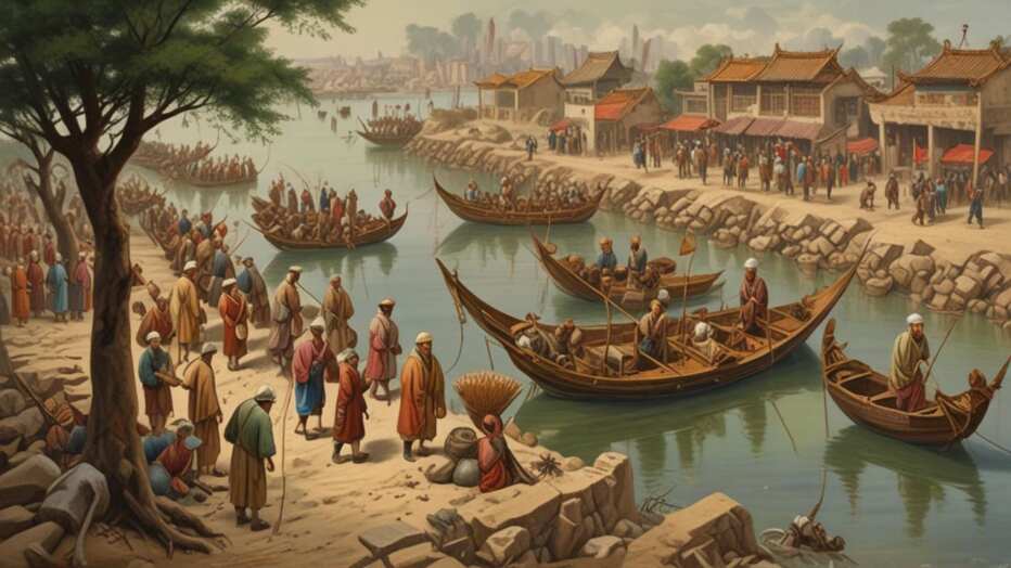
Operating a 1,100-mile waterway through diverse terrain, seasons, and flood conditions required a sophisticated administrative system. The imperial government established dedicated bureaucratic agencies and rigorous protocols for its management. This was a key part of statecraft.
Maintenance was a constant, annual effort. The primary challenges were siltation from the Yellow River’s frequent floods, ensuring adequate water levels during droughts, and repairing infrastructure damaged by ice, floods, or use. The government organized massive, seasonal labor forces for dredging and repairs, often timed with agricultural off-seasons.
The management structure evolved over time. A specialized agency, often called the “Cao Transport Commission,” oversaw the entire system. Local officials were responsible for specific sections, and their performance was tied to the successful delivery of grain to the capital.
Failure could mean severe punishment.
| Administrative Function | Description & Responsibility |
|---|---|
| Grain Transport (Cao) | The core mission. Coordinating the convoy of thousands of grain barges from southern collection points to northern depots. |
| Hydraulic Engineering | Managing water levels, operating locks and gates, controlling floods, and diverting water from tributaries. |
| Dredging & Repair | Organizing the annual dredging campaigns and repairing embankments, bridges, and infrastructure. |
| Traffic Control | Regulating the flow of commercial and official vessels, preventing congestion, and collecting tolls. |
Why is the Grand Canal Still Significant Today?
While no longer the primary economic lifeline it once was, the Grand Canal holds immense modern significance as a cultural monument, an educational resource, and a partially active commercial waterway. Its UNESCO World Heritage designation in 2014 formally recognized its outstanding universal value.
A substantial portion of the southern canal, particularly in Zhejiang and Jiangsu provinces, remains in active commercial use. Modern barges carry construction materials, coal, and other bulk goods, continuing its original function on a reduced scale. This living heritage is a remarkable continuity spanning over a millennium.
For China, the canal is a powerful symbol of national ingenuity and historical unity. It is promoted as part of the country’s cultural confidence and is a major tourist attraction. Cities along the canal, like Hangzhou, Suzhou, and Yangzhou, have developed heritage parks, museums, and preserved historical districts that draw millions of visitors annually.
- UNESCO World Heritage Site: Recognized for its exceptional engineering and historical impact, prompting conservation efforts.
- Active Transportation Route: The Hangzhou-Jining section supports a significant volume of bulk cargo transport.
- Cultural Tourism Hub: It serves as a linear park showcasing traditional Chinese water-town landscapes and history.
- Ecological Project: Restoration efforts focus not just on history, but on improving water quality and creating green corridors.
Tip: If visiting, the most scenic and well-preserved sections for tourists are around Suzhou and Hangzhou. The Beijing section, known as the “Beijing-Hangzhou Grand Canal Haihe River,” is largely dry but features excellent museums and parks tracing its history.
What is the Relationship Between the Grand Canal and the Silk Road?
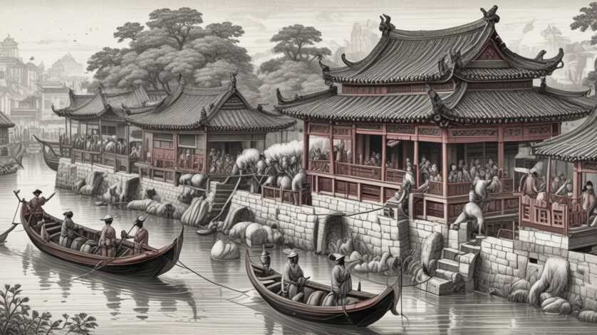
The Grand Canal and the Silk Road are often mentioned together as great ancient trade networks. While distinct, they were deeply interconnected and complementary systems that together facilitated Eurasian trade. Their relationship was one of convergence, not competition.
The Silk Road refers to the overland caravan routes that connected China with Central Asia, the Middle East, and Europe. The Grand Canal was an internal, waterborne highway within China. The key connection point was the eastern terminus of the Silk Road at Chinese cities like Xi’an and Luoyang.
Goods from southern China, such as silk, porcelain, and tea, were shipped north on the Grand Canal. At the canal’s northern end, or via connecting roads from its inland junctions, these goods were transferred to camel caravans for the long journey westward along the Silk Road. In reverse, goods like spices, glass, and woolens arriving from the west could be distributed throughout China via the canal network.
In essence, the Grand Canal acted as the internal “collector and distributor” for the international Silk Road trade. It aggregated goods from across China’s vast interior and funneled them to the departure points for global commerce. This synergy made China a central hub in pre-modern global trade.
Frequently Asked Questions
How long does it take to travel the entire Grand Canal?
In ancient times, traveling the entire length by barge could take several months, sometimes up to six months, depending on the season, river currents, and cargo weight. Modern vessels can complete the journey in a matter of days, though commercial traffic on the southern section moves at a deliberate pace.
Is any part of the Grand Canal still used for shipping today?
Yes, approximately 70% of the original southern section remains a navigable waterway. The busiest segment runs from Hangzhou in Zhejiang Province to Jining in Shandong Province. It carries millions of tons of freight annually, primarily bulk materials like sand, gravel, and coal.
What is the most famous city along the Grand Canal?
Hangzhou, at the canal’s southern terminus, is perhaps the most famous, celebrated for its scenic West Lake. However, Suzhou, known for its exquisite classical gardens and canals, and Yangzhou, a historic salt-trading hub, are also iconic canal cities that flourished because of its trade.
How does the Grand Canal affect water systems and the environment?
The canal has a complex environmental impact. It connects different river basins, which can facilitate the spread of invasive aquatic species. Modern restoration projects aim to improve water quality, reduce pollution from boats and industry, and create ecological green spaces along its banks to support biodiversity.
Can you walk or cycle along the Grand Canal?
Yes, many cities have developed excellent public greenways along the canal’s banks. These paved paths are perfect for walking, jogging, and cycling, offering a way to experience the canal’s scenery and history up close. The Beijing section has a particularly well-developed promenade.
Final Thoughts
The Grand Canal of China is far more than an engineering relic. It was a transformative project that redefined China’s geographic and economic landscape, enabling the flow of grain, goods, and culture that bound a continental empire together. Its construction demonstrated the immense power of centralized state ambition and the profound human cost such projects could entail. From its brutal Sui Dynasty origins to its role as a modern UNESCO site and working waterway, the canal remains a powerful testament to the enduring interplay between infrastructure, society, and power in Chinese history.